3D Cave Mapping
Mapping New Zealand's longest limestone cave in 3D
Join us on an expedition to New Zealand’s longest limestone cave hidden deep in the Kahurangi National Park.
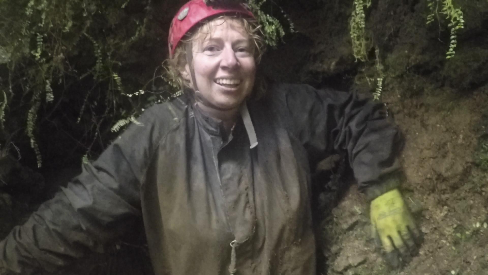
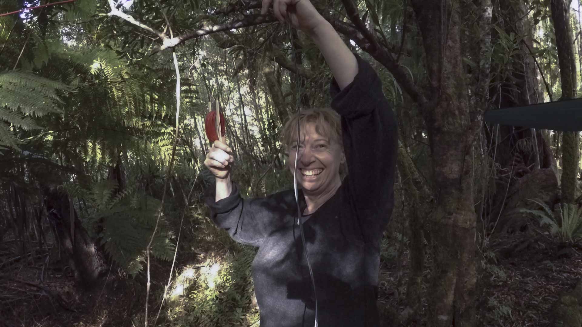
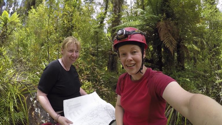
Over the five days on the expedition to 3D-map parts of the Megamania cave system we prospect for caves close by, visit other parts of Megamania and get into the daily expedition and camp routine.
We return with fantastic memories and a hard drive full of videos, photos and gigabytes of data to render the 3D model.
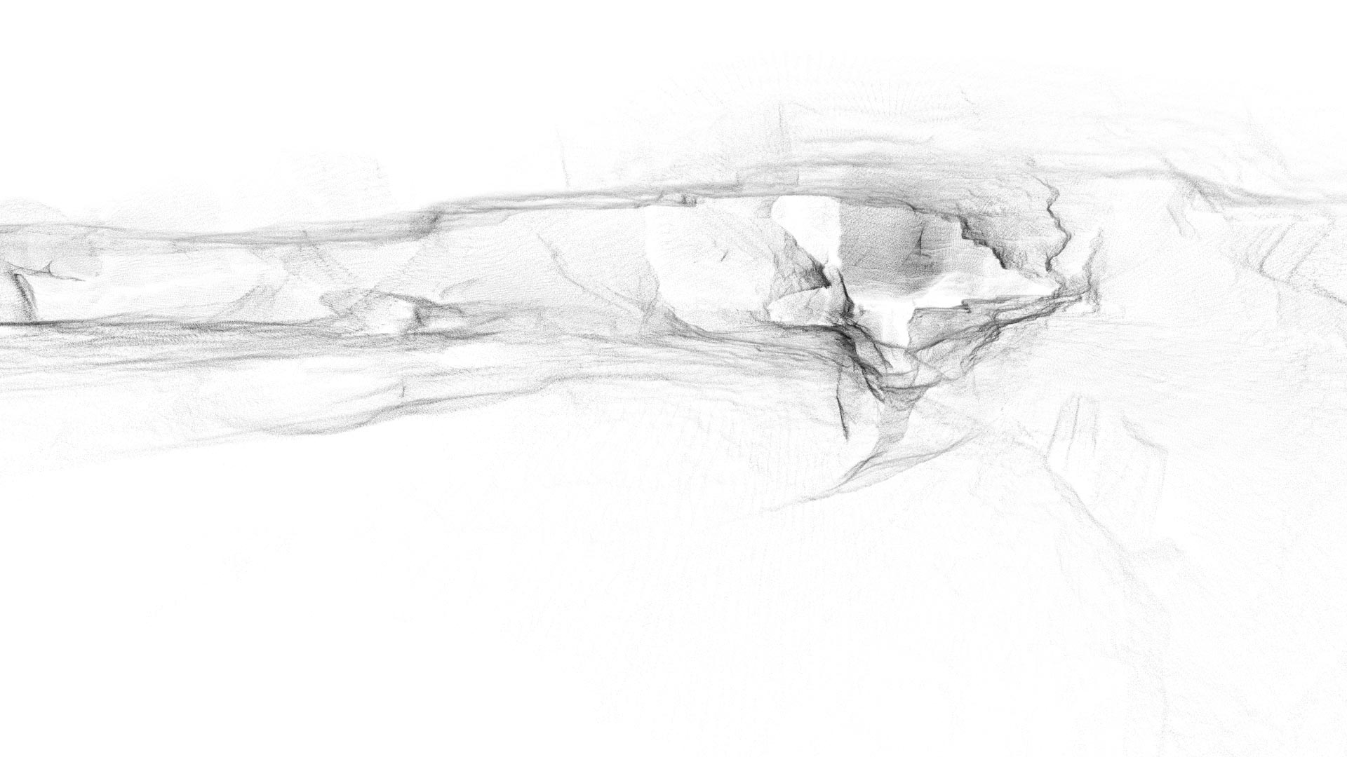
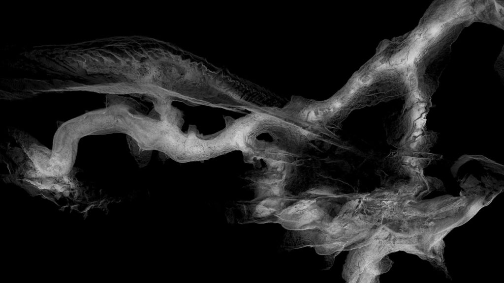
Feel like a ‘cave-o-naut’ and take a flight through the 3D model. The journey takes you from the Mudroom (which is indeed very muddy!) through the large phreatic tubes of Megablast and to the rock formation called the Face.

3D Mapping Team – Anna & Nicole

Looking onto the Great Wall section
Special Thanks
This project would not have been possible without the ongoing support from many others! Special thanks to Dan Monaghan & Reality Virtual, Allan Hosking & Survey Solutions Tauranga and GeoSlam for technical support, to Rachel LaFond for her amazing music and to the Wellington Caving Group, NZSS for organising the expedition.
Find out more about cave life biodiversity here and read more about Nicole and Anna on our About page.